

Collect Data Offline
Analyze Trends and Patterns
Access to your data 24/7

CREATE YOUR OWN VIEWS
OVERLAY YOUR OWN SHAPEFILES & SERVICES
ANALYZE TRENDS AND PATTERNS

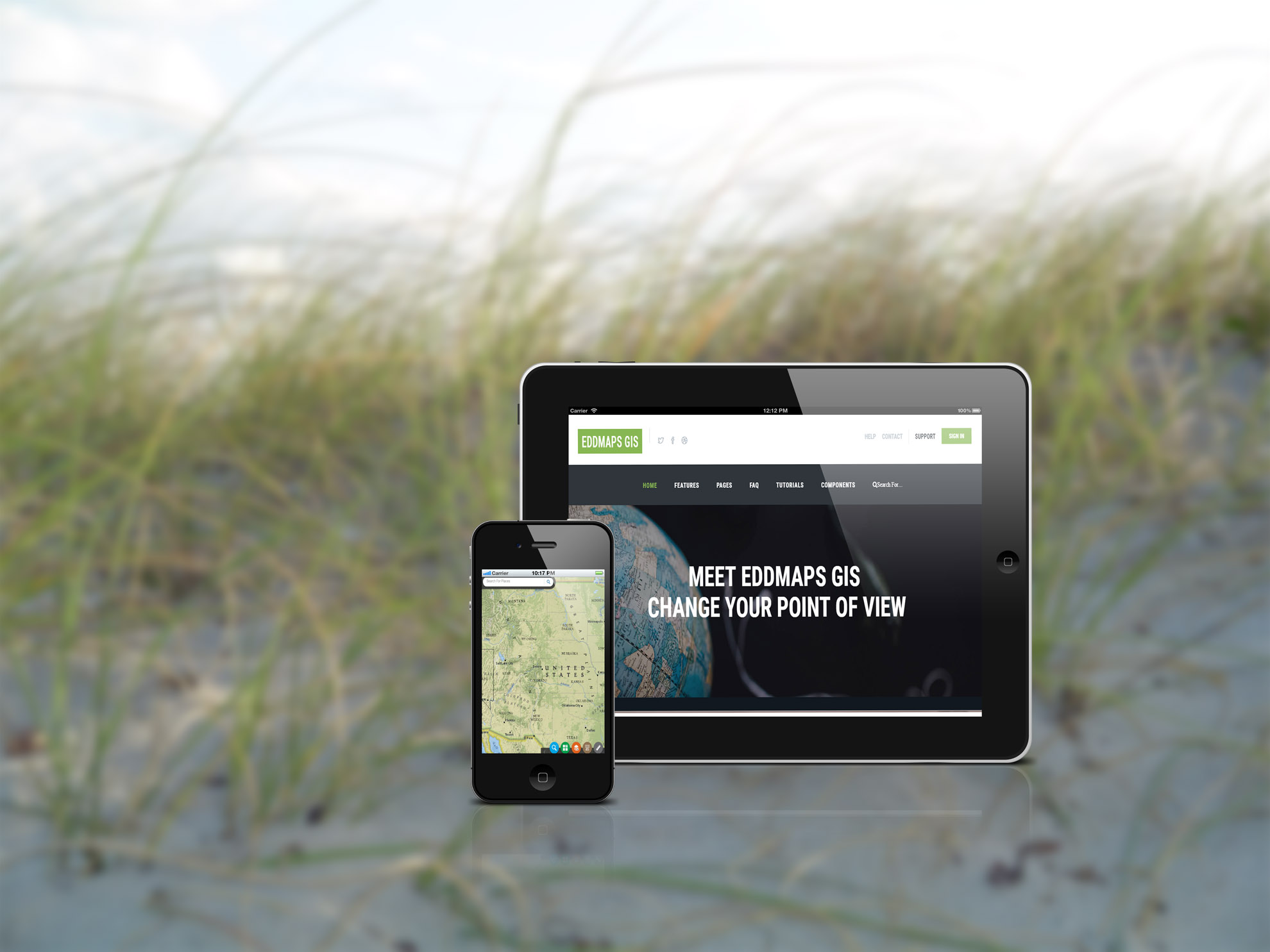
Available on all devices so you always have your latest data at your fingertips
Choose from a selection of basemaps to better tell your map story
Create custom views and maps with only the data you need
Run quick queries to see the specific sites you are targeting
Add in your own shapefiles using the drag and drop interface
Add text, shapes, and drawings to your map- with one easy tool
To put it simply, EDDMapS GIS is a new way of working with your data. We provide a web based mapping solution that allows you to view your data in a GIS environment without needing to know GIS. Users can take advantage of an easy to use interface that allows you to:
We developed EDDMapS GIS for the end user who didn't have the time to learn a new program. This is a turnkey solution for departments of all skill levels.

With just a few clicks of the mouse, you can run queries on all of your data and create your own mashups. Overlay your own data and start seeing trends and patterns.
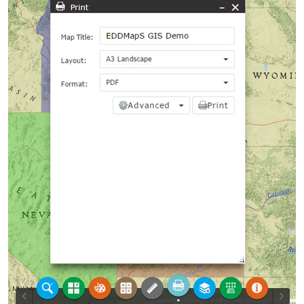
Turn layers on and off to capture the exact snapshot view of your data. Once you have it customized, print it into any type of format: pdf, jpeg, gif, svg, you decide.

No need to hire a specialized team to handle your GIS data. We do all of the work for you. You have complete access to all of your GIS data and can create your own views and maps for your projects.

End users can map their data using the EDDMapS app (available in Google Play or the App store) and then can view their data in any internet browser. No additional software is needed. It's a turn-key solution.
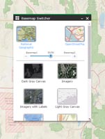
Blend your basemap to get exactly what you need. Combine roads, topographic lines, imagers, models and more.
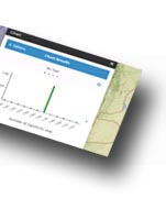
Get a unique snapshot of your data by charting the different attributes.
We've successfully created mapping projects for a wide range of applications

Mapping biocontrol insects

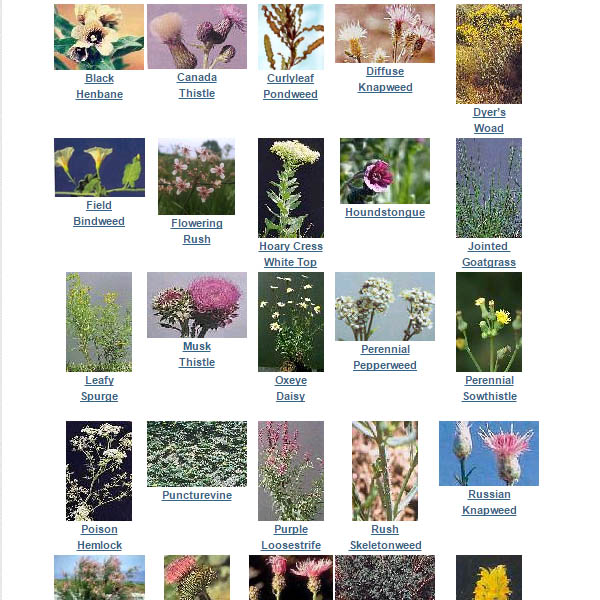
Noxious Weeds, Range Management

Terrestial Weeds, Biocontrol insects, Susceptibility Models
Mapping, Noxious Weeds, mobile data

Noxious Weed Reporting